

Makaleler
26
Tümü (26)
SCI-E, SSCI, AHCI (17)
SCI-E, SSCI, AHCI, ESCI (17)
Scopus (16)
TRDizin (7)
Diğer Yayınlar (5)


16. Bulanık karar verme teknikleri ile CBS destekli konut memnuniyeti araştırması
Journal Of The Faculty Of Engineering And Architecture Of Gazi University
, cilt.32, ss.1193-1208, 2017 (SCI-Expanded, Scopus, TRDizin)

21. Research on GIS-aided housing satisfaction using fuzzy decision-making techniques
JOURNAL OF THE FACULTY OF ENGINEERING AND ARCHITECTURE OF GAZI UNIVERSITY
, cilt.32, sa.4, ss.1193-1207, 2017 (SCI-Expanded, Scopus, TRDizin)
Hakemli Bilimsel Toplantılarda Yayımlanmış Bildiriler
36

Kitaplar
4
Metrikler
Yayın
66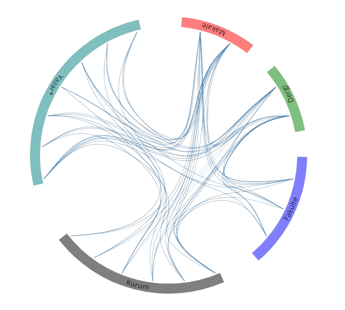
Açık Erişim
16
BM Sürdürülebilir Kalkınma Amaçları