
Makaleler
20
Tümü (20)
SCI-E, SSCI, AHCI (13)
SCI-E, SSCI, AHCI, ESCI (14)
ESCI (1)
Scopus (14)
TRDizin (5)
Diğer Yayınlar (2)
3. Performance comparison of deep learning and machine learning methods in determining wetland water areas using EuroSAT dataset
ENVIRONMENTAL SCIENCE AND POLLUTION RESEARCH
, cilt.29, sa.-, ss.21092-21106, 2022 (SCI-Expanded, Scopus)


12. Determination of the suitable sites for constructing solar photovoltaic (PV) power plants in Kayseri, Turkey using GIS-based ranking and AHP methods
ENVIRONMENTAL SCIENCE AND POLLUTION RESEARCH
, cilt.28, sa.40, ss.57232-57247, 2021 (SCI-Expanded, Scopus)
13. Comparison of point cloud filtering methods with data acquired by photogrammetric method and RGB-D sensors
INTERNATIONAL JOURNAL OF ENGINEERING AND GEOSCIENCES
, cilt.6, sa.3, ss.125-135, 2021 (ESCI, Scopus, TRDizin)

15. Analyzing the Contribution of Training Algorithms on Deep Neural Networks for Hyperspectral Image Classification
PHOTOGRAMMETRIC ENGINEERING AND REMOTE SENSING
, cilt.86, sa.9, ss.581-588, 2020 (SCI-Expanded, Scopus)
Hakemli Bilimsel Toplantılarda Yayımlanmış Bildiriler
17

Metrikler
Yayın
38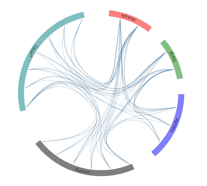
Açık Erişim
1
BM Sürdürülebilir Kalkınma Amaçları